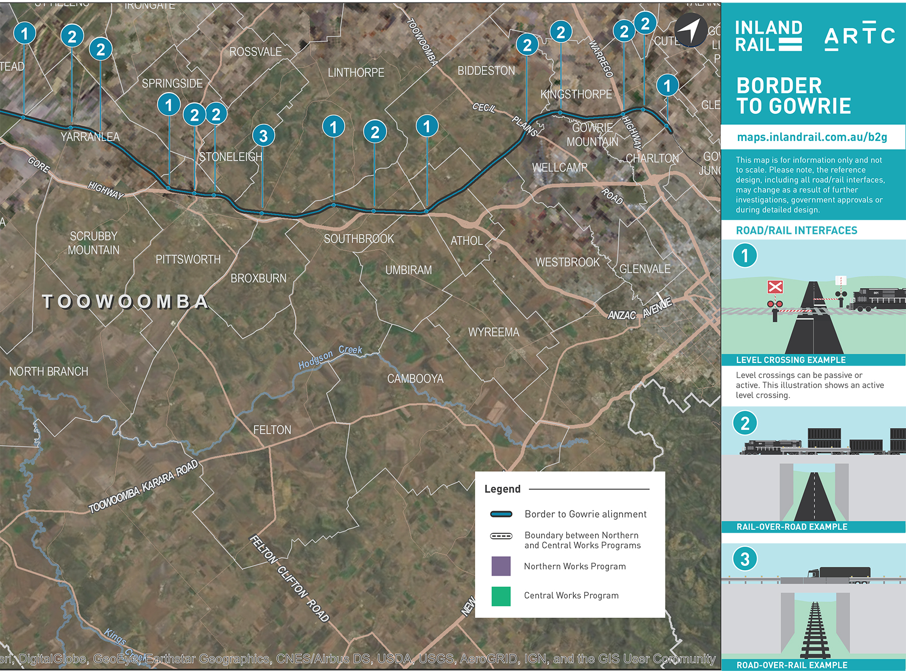
Border to Gowrie project map
The Border to Gowrie project, which stretches from the New South Wales/Queensland border, near Yelarbon, to Gowrie Junction, north-west of Toowoomba spans both the Northern and Central Civil Works Programs.
Updated: September 3, 2021
File size: 4.22Mb
Please contact us if any content within this document is inaccessible. If you need help with reading this document, or if English is your second language, please call 131 450. This is a free service.