Explore the alignment in your area
Have you seen our interactive maps and digital ‘fly-through’ of Phase 1 and Phase 2 of the Narrabri to North Star project?
February 3, 2021
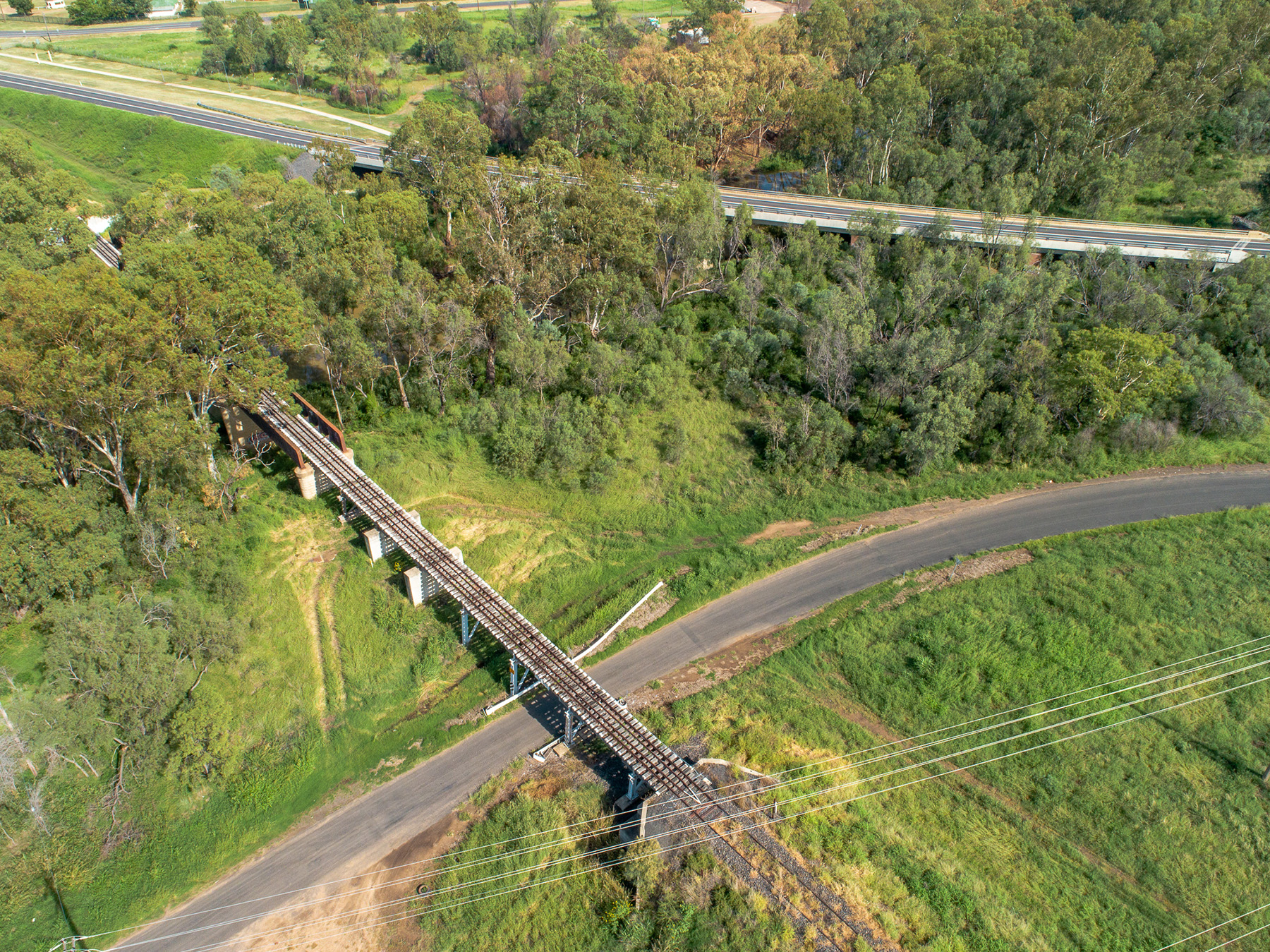
We have developed an interactive map of Phase 1 and Phase 2 designs of the Narrabri to North Star project.
You can provide comments by simply dropping a pin on the map. Your feedback will help us better understand key issues from the community’s perspective. Search the map for comments and markers and specific addresses to see what is happening in your area.
Click on the link to access our interactive map.
You can also get a birds-eye view of the Narrabri to North Star project in our digital fly-through. This video shows an artist’s impression of the alignment design as of November 2020. The fly-through video is for illustration purposes only and will be subject to change as the reference design is refined.
Click on the link to watch the fly-through video.