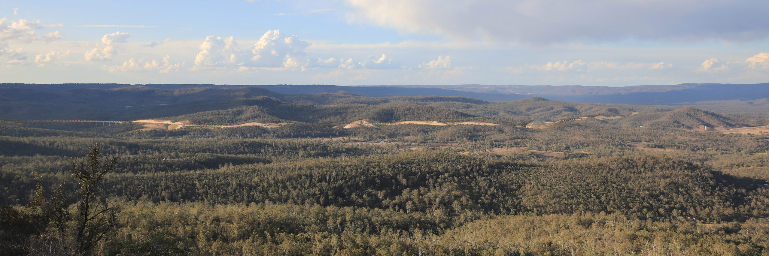
Works and planning
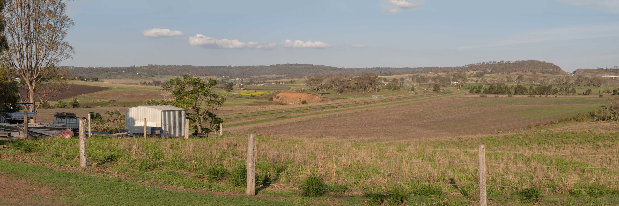
The Gowrie to Helidon section of Inland Rail will be built predominantly within the existing rail corridor and the Department of Transport and Main Roads’ Gowrie to Grandchester protected rail corridor. A study area was identified and refinements considered as part of the reference design process.
Work is expected to include building:
- 28km of new dual gauge track
- a 6.2km long tunnel (approximately)
- 13 bridge and viaduct structures (6.7km in total length)
- three crossing loops
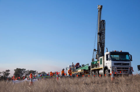
Current and upcoming field investigations
Last updated 22 December 2022.
| Location/s | Type of work | Timing | Contractor | What to expect |
|---|---|---|---|---|
| Gowrie to Kagaru | Groundwater monitoring | Ongoing | Golders | Contractors checking groundwater monitoring bores on public and private properties. |
| Gowrie to Kagaru | Surface water monitoring | Ongoing | Golders | Contractors collecting water quality data from waterways relevant to the projects, generally in line with the monitoring sites outlined in the draft EIS’s. |
| Gowrie to Kagaru | Cadastral Survey | Ongoing | RPS Surveys | Installation and establishment of major survey control marks within the G2K project areas. |
| Gowrie to Helidon | Ground Water sampling | December 2022 to January 2023 | Regionerate Rail (Epic Environmental and Webuild) | Installation and monitoring of ground water monitoring bore on and private properties. |
| Gowrie to Helidon and Helidon to Calvert | Soil sampling | March to May 2023 | FFJV (Aurecon) | Contractor conducting soil sampling on properties located on and near the alignment, as agreed. |
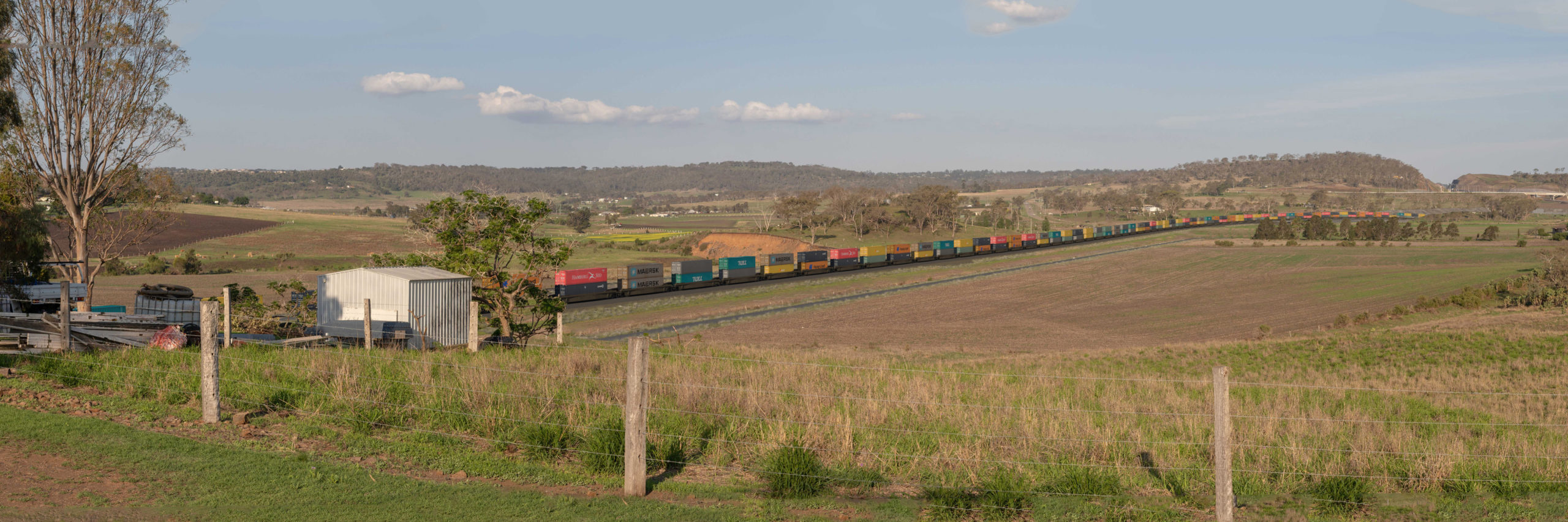
Watch a fly-through of the project
Get a birds-eye view of the Gowrie to Helidon project. This video shows the alignment as of August 2019. The fly-through video is for illustration purposes and for discussion and community consultation.
Visualisations
To get a sense of what your community will look like after the project has been completed, check out our visualisations of the proposed design.
Visualisations are for illustrative purposes and not to scale.
Toowoomba Range tunnel
This visualisation provides a three-dimensional view of the Inland Rail Gowrie to Helidon project’s indicative Toowoomba tunnel reference design. The visualisation demonstrates the approach to tunnel safety and ventilation, including the safety provisions within the tunnel, water tanks, pump buildings, backup generator, transformer yard, access roads, tunnel portal, ventilation shaft and ventilation buildings.
This 3D visualisation is for illustration and discussion purposes only. The final design of the tunnel will be prepared at the detailed design stage.
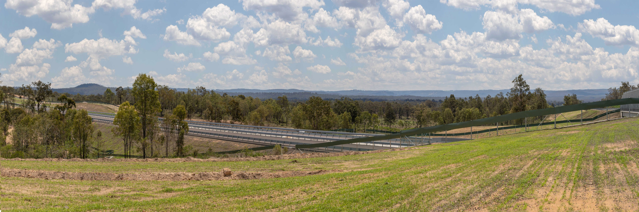
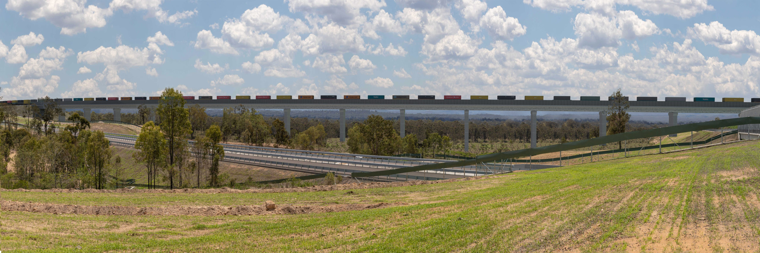
Six Mile Creek viaduct
This visualisation provides a three-dimensional view of the project’s Six Mile Creek viaduct reference design. This viaduct is the highest of the 13 bridge and viaduct structures that we expect to build for the project. It stands approximately 50 metres tall at its highest point at Six Mile Creek—about the same height by which the Sydney Harbour Bridge clears the water.
The Six Mile Creek viaduct is also the second longest viaduct on the project, spanning 966 metres as it passes over the Toowoomba Bypass, Six Mile Creek, Gittins Road and generally mountainous terrain. The structure accommodates a single line running, at 80km/h.
This 3D visualisation is for illustration and discussion purposes only. The final design of the structure will be prepared at the detailed design stage.
Junction Street, Gowrie Junction
Burnview Avenue, Cranley
Katoomba Point Lookout, Prince Henry Heights
Murphys Creek Road, Postmans Ridge
Get an overview of the G2H alignment selection, utilising existing and gazetted rail corridors
Find out how our proposed replacement of the Gowrie Junction level crossing with a road over rail bridge will provide a safer outcome for the nearby communities.
Learn about our approaches to safety and tunnel ventilation, aspects that informed the current design thinking for ventilation and tunnel portals, and watch a 3-D visualisation of the proposed tunnel reference design.
Discover how we propose to deliver a fast and safe alignment down to the Lockyer Valley floor using viaduct structures and providing safe road/rail interfaces.