Gowrie to Kagaru groundwater bore survey underway
ARTC is undertaking a groundwater bore survey for properties that may be impacted by the Gowrie to Kagaru projects of the Inland Rail program.
June 15, 2022
The purpose of the bore survey is to understand the potential project impacts and how to mitigate those impacts. We are seeking your input to assist us with this important work.
We would like to understand if groundwater bores (registered or unregistered) are located on properties within the Gowrie to Kagaru Project study area.
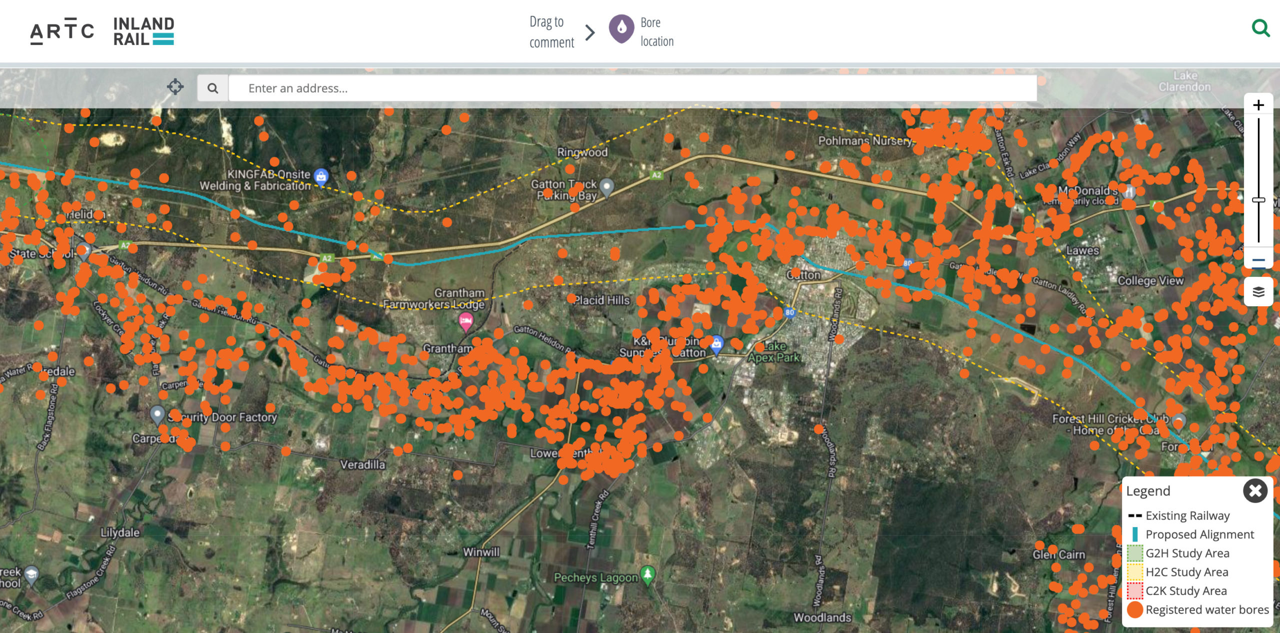
You have the option of either downloading and completing the survey or providing the same information on the online interactive groundwater bore map and marking bore locations using the following easy steps:
- Find the location of your bore/s on the map
- Click the ‘Bore location marker’ button
- Drag and zoom to position the marker and click ‘Place Marker Here’
- Enter your name and details and click ‘Submit’.
The information collected will be handled in accordance with ARTC’s Privacy Policy and will not be publicly visible.
If you have any questions about the groundwater bore survey, please contact the Stakeholder Engagement Team on 1800 732 761.
IMAGE: Gowrie to Kagaru groundwater bore interactive map is available for community members to provide bore details.