LiDAR surveys for proposed route
As part of the continuing design review process of the Inland Rail project, additional areas in the Illabo to Stockinbingal study corridor require more ground model survey data.
July 4, 2022
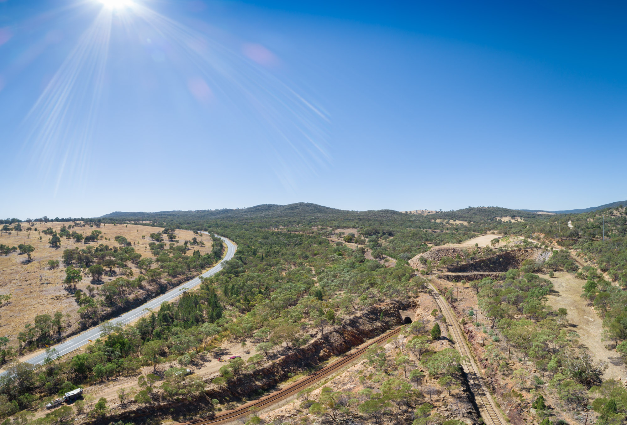
As part of the continuing design review process of the Inland Rail project, additional areas in the Illabo to Stockinbingal study corridor require more ground model survey data.
The survey data will be captured using LiDAR technology. LiDAR surveys use aerial laser measurements to create a ground surface model to assist planners and designers as they move to detailed design.
Subject to weather conditions, people can expect to see aircraft flying the proposed Illabo to Stockinbingal rail route sometime on or after 11 July. Following this, and subject to weather and ground conditions, between August and September this year, people may see survey personnel in 4WD vehicles conducting ground validation checks in areas along the route to ensure accuracy. Private land will only be accessed with landowner approval.
If you have any questions, you can contact the stakeholder engagement team on 1800 732 761.