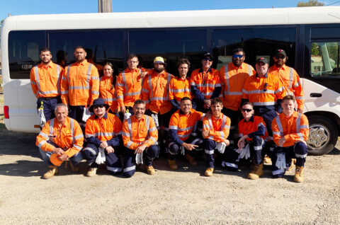
October 2020 project update for Illabo to Stockinbingal
We will continue site investigations across October and November and hold meetings with landowners and key stakeholders about the flood study.
October 23, 2020
Our flood consultation will follow a two-step process.
In coming weeks, we will meet with landowners and other stakeholders to ensure the information we have is accurate. This will include using marked up individual landowner maps to refine the flood model, where necessary.
We will also review water flows and section flooding on land, as well as gather information from historic flood markers and photos.
Information gathered from this will feed into the Environmental Impact Statement.
Early next year we will seek community feedback on our updated design with overlaid flood modelling showing potential impacts.
Landowner feedback regarding private access requirements will also be gathered to inform the project’s reference design.
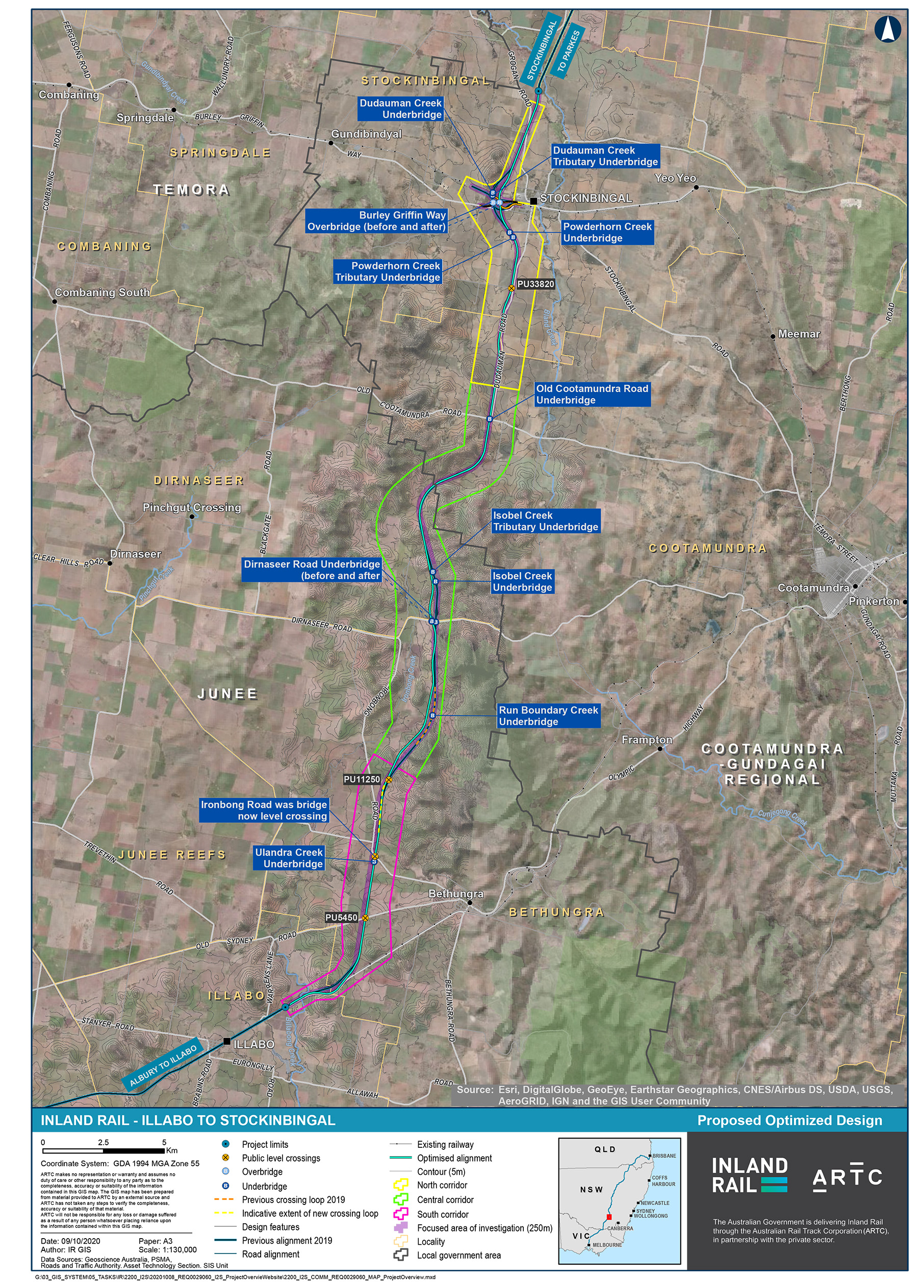
The project team recently went out to the community to share a preferred refined design. This included a range of options and opportunities primarily inside the 250m wide focused area of investigation (FAI). Some opportunities no further than approximately 200m outside the FAI have also been identified.
The design refinement recommends:
- A public level crossing at the Ironbong Road road-rail interface. This reduces the size of the required rail embankment on either side of the road, which decreases earthworks.
- The rail goes over the road at Dirnaseer Road and Old Cootamundra Road to better suit the terrain and improve efficiencies
- Shifting the alignment at Burley Griffin Way about 300m to the east at Stockinbingal township, avoiding a large cutting through the hill.