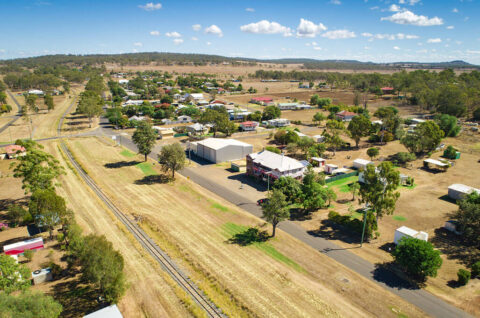
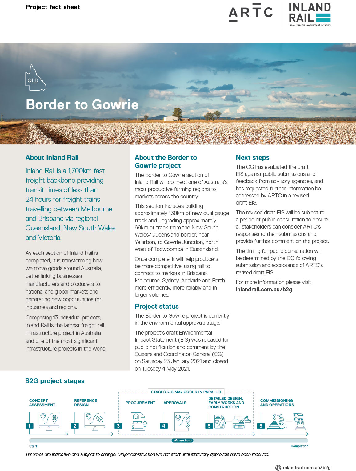
The NSW/Qld Border to Gowrie (Border to Gowrie) section of Inland Rail will connect one of Australia’s most productive farming regions to markets across the country.
This section includes building approximately 138km of new dual gauge track and upgrading approximately 69km of track from the New South Wales/Queensland border, near Yelarbon, to Gowrie Junction, north west of Toowoomba in Queensland. All track on the Border to Gowrie section will be dual gauge.
The Border to Gowrie project is now in the environmental approvals stage.
We are preparing to submit a revised draft Environmental Impact Statement (EIS) for the Border to Gowrie section.
The Border to Gowrie project draft Environmental Impact Statement (EIS) public display commenced on Saturday 23 January 2021 and concluded on Tuesday 4 May 2021.
For more information about the EIS process and next steps, visit the Queensland Coordinator-General’s website.
Snapshot
Type
Upgrade and new track
Length
138km new track
69km upgraded track
Anticipated works
Installing new dual gauge track and upgrading existing track
Status
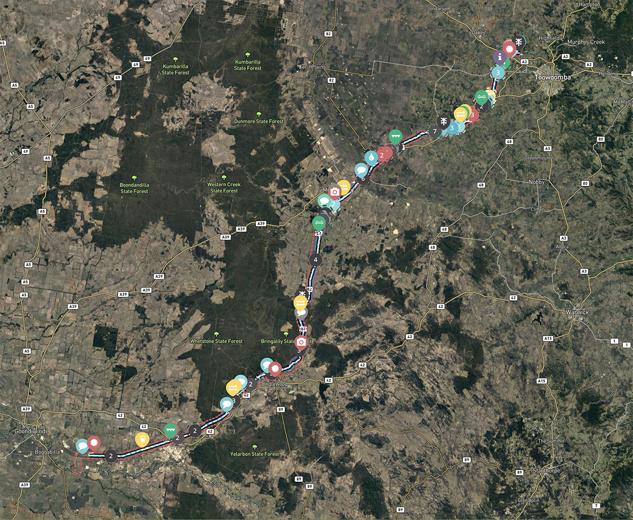
Project map
The route from Yelarbon in the south to Gowrie Junction in the north is co-located with both the existing South Western Line and Millmerran Branch line rail corridors.
Interactive map
We have developed an interactive map of the current project design. Drop a pin on the map to add your comment. Your feedback will help us get a better understanding of key issues from a community perspective.
Border to Gowrie project fact sheet
The Border to Gowrie section of Inland Rail will connect one of Australia’s most productive farming regions to markets across the country.